Klamath Basin
The Klamath Basin covers 12,000 square miles on the Oregon-California border. It is larger than nine U.S. states and is the second-largest watershed in California.

OVER MANY DECADES, THE BASIN HAS GONE THROUGH TREMENDOUS CHANGE:
The building of private hydropower dams that blocked salmon passage for decades, with dire repercussions for Tribal people and fishing economies.
Construction of a federal irrigation project that brought hundreds of new farmers and ranchers to the upper basin and drained thousands of acres of wetlands.
Forced removal of Tribal people from their homelands.
Changes in forest management leading to more severe wildfires.
Severe drought over the last 20 years that has also caused fish and bird die-offs; significant local and national conflict.
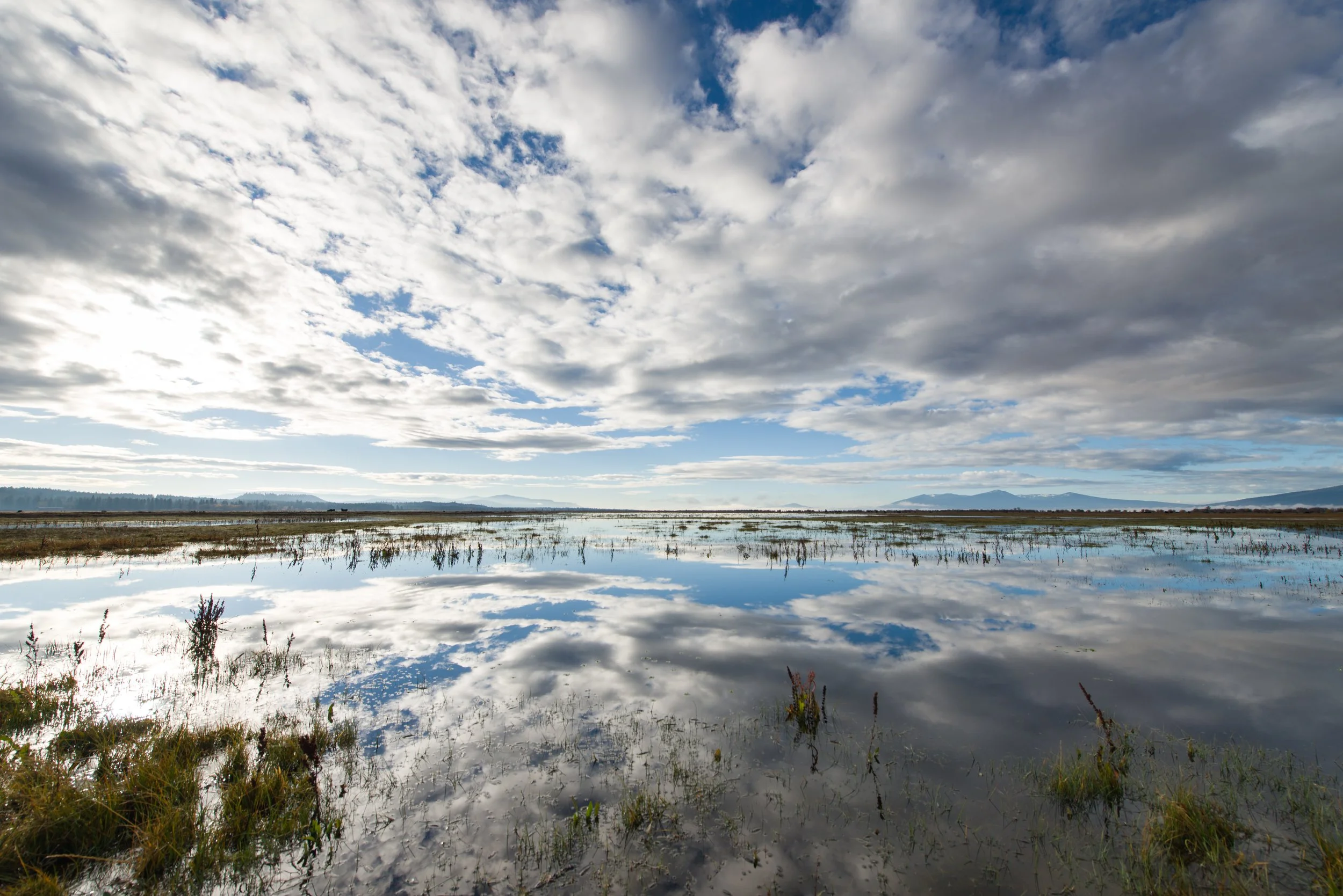
Loss of wetland habitat and water for the six wildlife refuges in the basin, a crucial stopover for migrating birds on the Pacific Flyway.


Here is how Sustainable Northwest is working to balance the needs of nature, people, and local economies in the Klamath Basin:
-
Sustainable Northwest is helping farmers and ranchers in the Upper Klamath Basin access valuable conservation funding that supports healthy land, water and wildlife habitat. We work with each landowner to discuss their goals, needs, and the funding options available.
Together, we create a plan and apply for funding. Some landowners choose to transition to regenerative agricultural practices to save water and improve soil health; some upgrade to more efficient irrigation systems; some install fencing and regulated wells to keep livestock away from rivers and streams; and others restore wetlands and streams to support fish and wildlife, and improve water quality. The solutions are as unique as the land and the landowner.
-
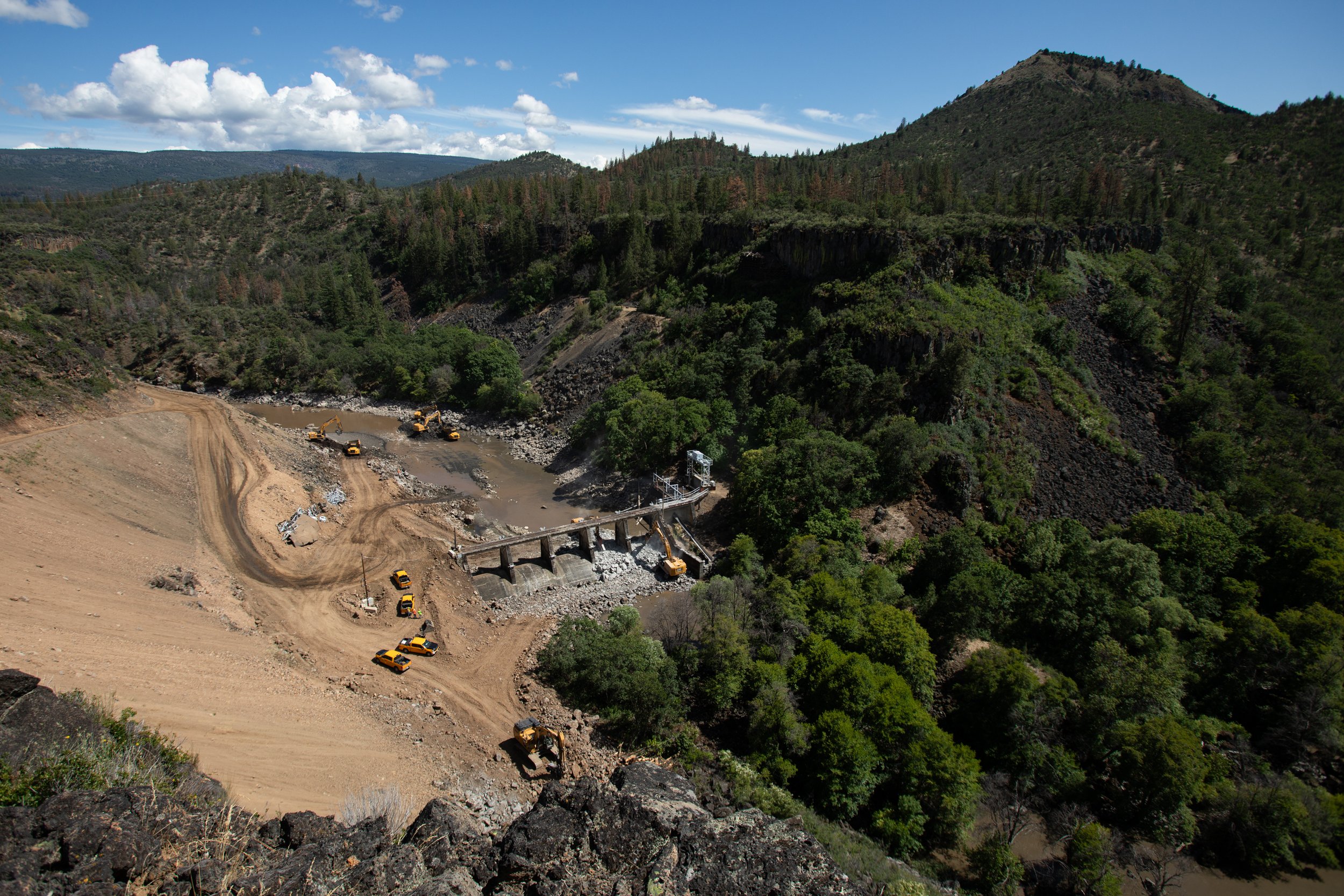
After more than 20 years of Tribal-and nonprofit-led advocacy, four outdated dams on the Klamath River were removed in 2023 and 2024! This is the largest dam removal and salmon restoration project in history. For the first time in decades, salmon and steelhead have returned to 400+ miles of historic habitat in the Upper Klamath Basin.
Sustainable Northwest partnered with Tribes and other nonprofits for two decades to advance dam removal. Additionally, our work helping to restore streams and wetlands in the upper basin will support returning salmon and steelhead.
-
By assessing the water entering a watershed, we can help understand supply better, and then match demand to supply. Our hope is to balance water use for nature, people, and local farming economies. By working with partners to develop more accurate models of water flow, we can help Upper Basin water users and Tribes make decisions based on accurate data.
Wildlife refuges in the upper basin provide important habitat for migratory birds along the Pacific Flyway, one of the continent’s most important migratory corridors. But these refuges often go without water because more water has been promised to water users than exists in the Basin. By using water more efficiently and implementing nature-based solutions to clean and conserve water, we can improve water quantity and quality for farmers, ranchers, fish, Tribes, and wildlife refuges.
-
Our strong relationships with public, private, and Tribal forest managers in the Klamath Basin have helped us test and adopt best practices for managing Klamath forests in ways that support clean, abundant water.
For example, we have found forests in the Klamath Basin that are treated with prescribed fire and thinned of small trees actually attract more snow, and that snow melts more slowly – and both factors reduce wildfire risk, provide a longer-lasting water source, and benefit fish and wildlife.
We are working with all landowners in the basin – including the Klamath Tribes, private forest companies, and the national forest – to find the best approaches to forest management that work for nature, people, and jobs.