Mapping Upper Klamath Basin Restoration
An Intern’s Story
By Kate Corsaro, Sustainable Northwest intern summer 2026
Whenever someone has asked me about my internship this summer with Sustainable Northwest, I typically say, “I’m creating a map that shows restoration projects in the Upper Klamath Basin.” While that is technically true, my experience has included much more than just creating a map. As an environmental studies and political science student getting ready to begin my senior year at Lewis and Clark College, I was excited for the opportunity to strengthen my ArcGIS skills and gain experience in restoration work. Over the course of the summer, I was able to make connections with the projects and the people behind them, and I gained a deeper appreciation for the partnerships that make restoration possible.
The primary focus of my internship was creating an interactive map of restoration projects throughout the Upper Klamath Basin. The map allows users to click on each point in the subbasins and see individual project information. These projects came from the Oregon Watershed Restoration Tool, and from meeting with partners to learn about the projects they worked on. I appreciated the ease and accessibility of using the OWRT database, but my favorite part of the internship was meeting one-on-one with partners and my supervisors at SNW. Through these conversations, I gained a deeper understanding of the history, goals, and impacts of the restoration efforts, while also getting the chance to connect with some of the people behind them. As I got further into my internship, I began incorporating the interactive map, which has over 120 projects, with a StoryMap to highlight the stories behind several featured restoration projects. The goal was not only to create a tool to show past projects and provide information for looking at future projects, but also to tell the story of restoration across the Upper Klamath Basin.
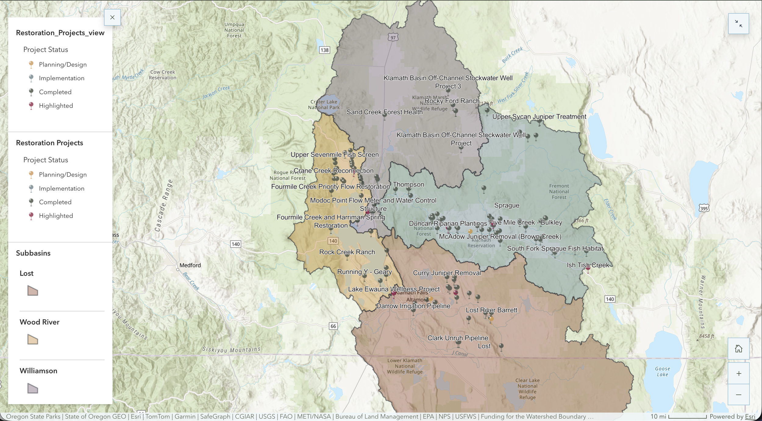
A map of restoration projects in the Upper Klamath Basin.
Though the process was not always easy — like when I discovered that ArcGIS doesn’t have an undo feature after deleting 17 projects by accident — it taught me a lot more about the software I was using, how to organize and use data, how to communicate information to the public, and how to solve unexpected challenges. I also learned that behind every restoration project is years of collaboration with landowners, scientists, agencies, nonprofits, and local communities working together to restore ecosystems and build healthier, more resilient landscapes. While speaking to one of the collaborators, he told me that so many people go into this field because they prefer the environment to people, but that this field is all about knowing how to build and maintain relationships with people, which is a theme that I saw again and again throughout these projects. I saw how many people and organizations worked together towards common goals and across differences to create a positive outcome for everyone involved.
By working on this map and helping tell the story behind it, I have gained a much deeper appreciation for the interconnected nature of restoration work. I’m coming away from this internship with a greater understanding of agriculture, wetlands, water resources, and the partnerships that make restoration possible. I learned that maps are more than technical tools; they have the capacity to connect people to the stories behind a landscape and help communicate why restoration matters. This experience strengthened both my technical skills and my passion for sustainability, while showing me that meaningful environmental work depends just as much on collaboration and community as it does on science and data.
The map is not yet complete, but keep an eye on Sustainable Northwest’s blog and newsletter to see it when it’s finished.
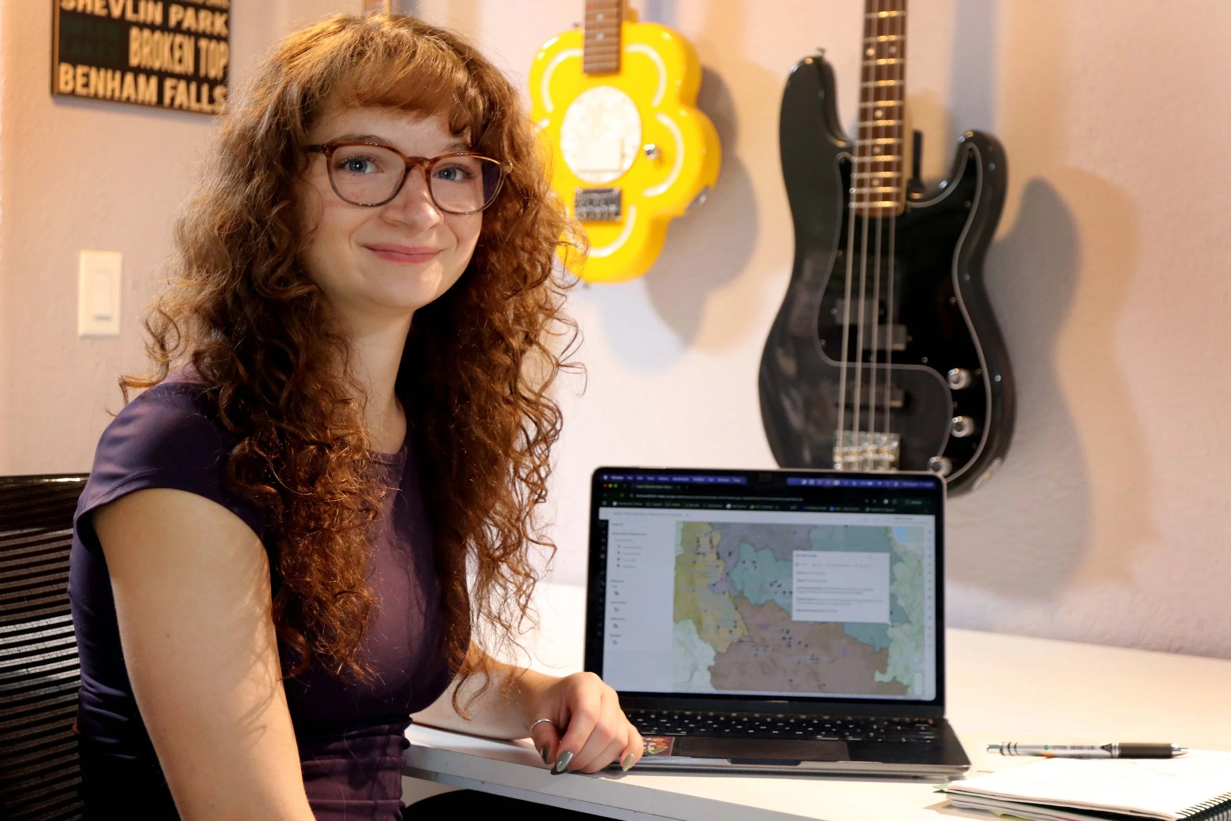
Kate Corsaro, 2026 student intern for Sustainable Northwest’s Klamath Basin water team.
If you want to support this work and others like it, you can join The Tree Rings by making a recurring donation to Sustainable Northwest. Click here and select the option to make your gift monthly. Thank you!
Frequently Asked Questions
-
It is an interactive ArcGIS map of more than 120 restoration projects throughout the Upper Klamath Basin, created by Kate Corsaro during her 2026 summer internship with Sustainable Northwest. Users can click on each point in the subbasins to see individual project information.
-
Projects on the map came from the Oregon Watershed Restoration Tool (OWRT) database and from meetings with partners to learn about the restoration projects they worked on.
-
The interactive map is being paired with a StoryMap that highlights the stories behind several featured restoration projects. The goal is to show past projects, provide information for future projects, and tell the story of restoration across the Upper Klamath Basin.
-
Behind every restoration project is years of collaboration among landowners, scientists, agencies, nonprofits, and local communities working together to restore ecosystems and build healthier, more resilient landscapes.
-
The map is not yet complete. Keep an eye on Sustainable Northwest's blog and newsletter to see it when it's finished.
All photo credits: Kate Corsaro